A rigorous method, from strategy to decision-ready data.
We support the client throughout the entire technical process, ensuring methodological consistency between the project requirement and the delivered information.
Investigation strategy
We define the most suitable methodologies and technologies for the project objectives, starting from a preliminary technical analysis and existing documentation.
- Context analysis
- Technology selection
- Operational planning
Field operations
We carry out surveys with state-of-the-art instrumentation and qualified technicians, ensuring quality and traceability of the acquired data.
- Rapid mobilisation
- Certified crews
- On-site quality control
Data post-processing
We process, filter and interpret signals using specialist software to extract reliable and robust information.
- Dedicated software
- Cross-validation
- 3D modelling
Technical deliverables
We deliver clear technical reports, digital models and georeferenced maps ready to be used directly by designers, authorities and clients.
- Technical reports
- GIS / CAD / BIM outputs
- Interpretive support
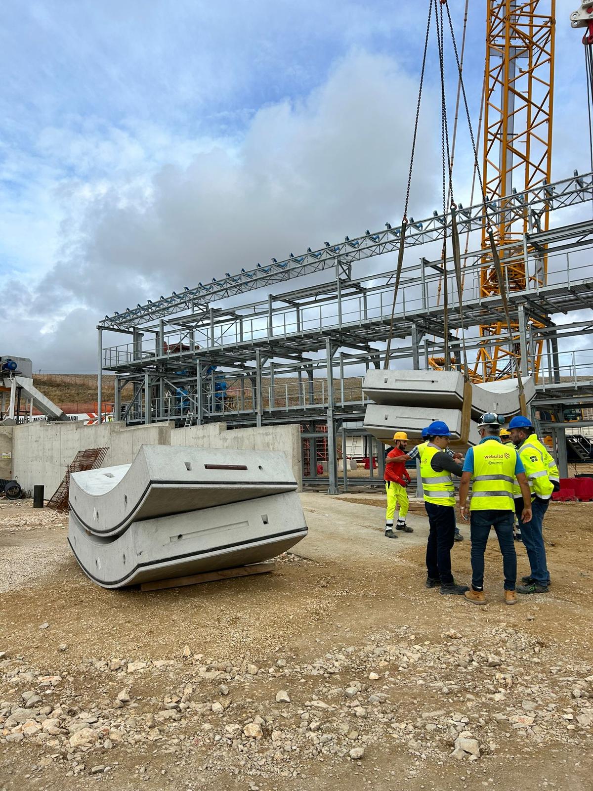
Technicians, data, decisions: one seamless pipeline.
Every project is managed by a multidisciplinary team integrating geophysics, structural engineering, surveying and data analysis. No hand-off gaps that dilute technical value.
Start a project