Technologies, expertise and training at the service of industry professionals.
Not a catalogue of tests, but a technical consultancy model: we introduce new technologies, support complex projects and accompany clients as they grow their market — helping them invest in equipment at the right moment, when the purchase is genuinely sustainable and recoverable. In the meantime we make our technologies, expertise, technical training and Smart consulting available to survey and testing personnel, introducing and guiding clients entering new markets.
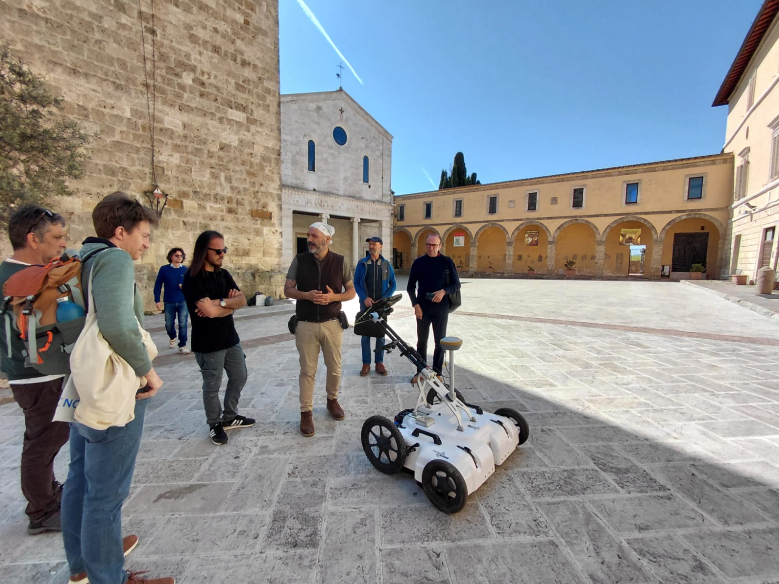
Non-invasive subsurface characterisation for the detection of buried structures, utilities, anomalies and stratigraphic discontinuities. Integrated GPR, magnetometry and geoelectric technologies for a thorough prior understanding of the subsurface.
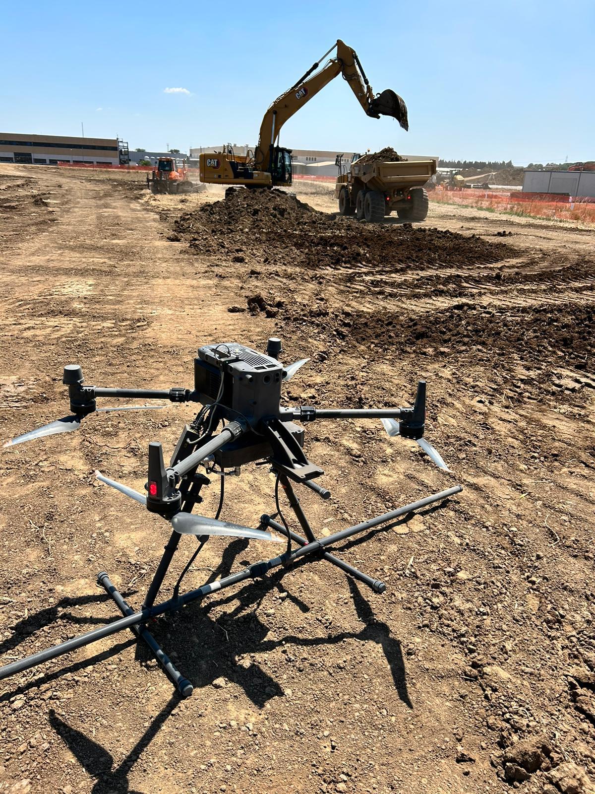
One of the distinctive areas of Novatest Engineering. We operate high-sensitivity magnetometers and gradiometers — in ground, trolley and UAV-drone configurations — for mapping buried ferromagnetic masses, geological anomalies and anthropogenic structures. Key technology for unexploded ordnance clearance (BCM/UXO), large-scale archaeological surveys and the characterisation of contaminated or former industrial sites.
Preventive geophysics for archaeological risk assessment, carried out in collaboration with the relevant heritage authorities. Early identification of buried evidence to reduce authorisation issues, time and costs in subsequent project phases.
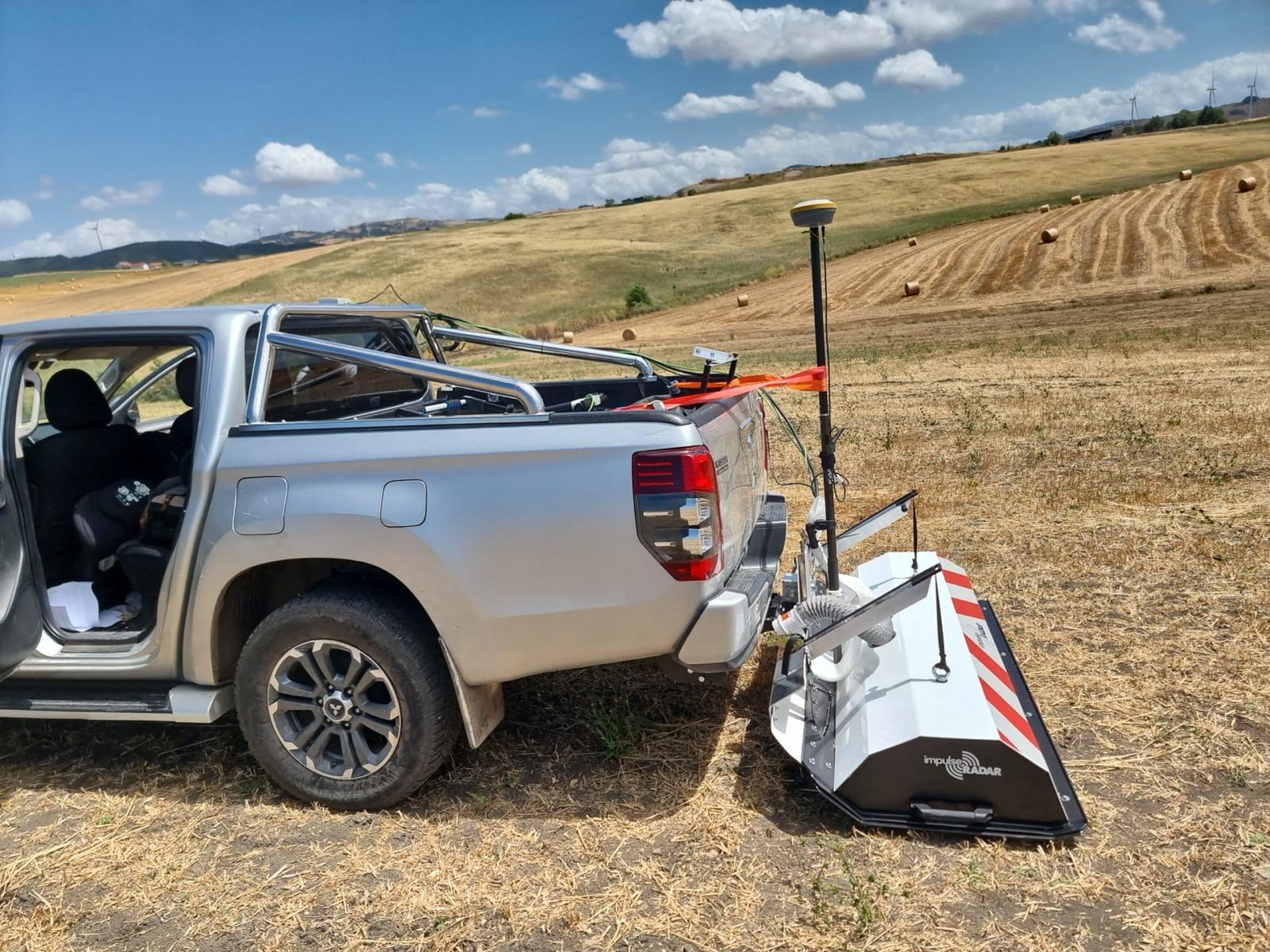
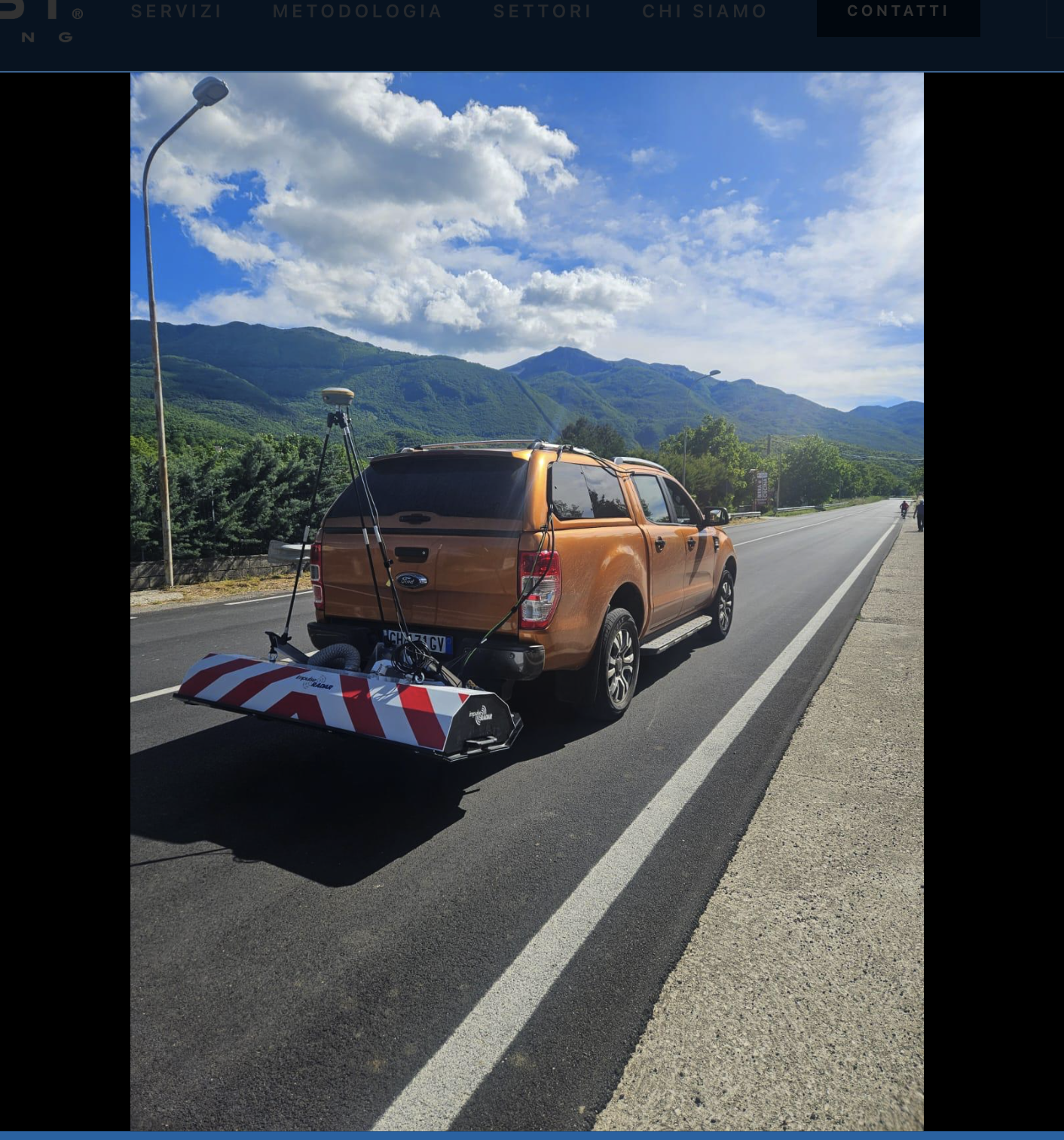
High-productivity GPR acquisition with the ImpulseRadar Raptor multiarray system in Vehicle Mount configuration, integrated on dedicated vehicles. The system collects 3D GPR data at speeds up to 120 km/h with 5 cm cross-track spacing, delivering volumetric models of the road pavement structure and utilities without lane closures. The ideal solution for motorway operators, road-owning authorities and administrations that need to inspect large road networks quickly.
3D Raptor multiarray GPR (up to 18 channels, Raptor-45)
Vehicle Mount configuration for on-the-move acquisition
Pavement mapping, distress assessment and utility detection
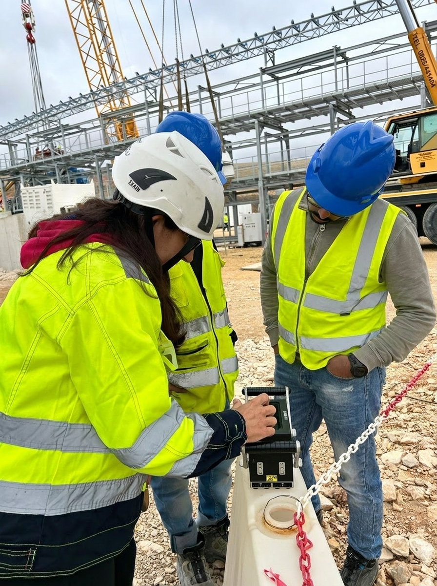
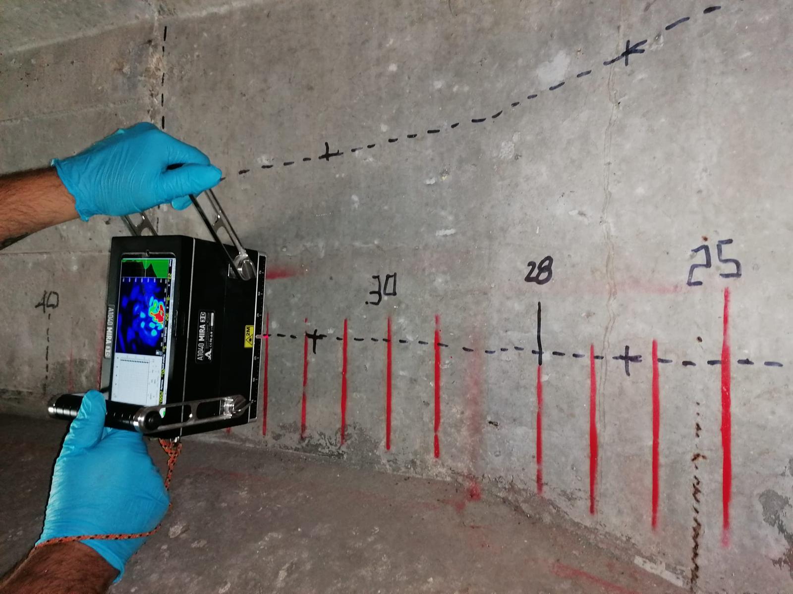
Exclusive, highly specialised technologies for the diagnostics of civil and industrial structures: ultrasonic tomography, digital X-RAY radiography, dynamic structural characterisation, high-frequency GPR surveys for concrete and masonry, and POT (Pull-Out Test) tests to verify the bearing capacity of pile foundations for photovoltaic installations.
MIRA 3D ultrasonic tomography
NOVOdr digital X-RAY radiography (civil and industrial)
Structural GPR surveys at high frequency
POT (Pull-Out Test) on photovoltaic pile foundations
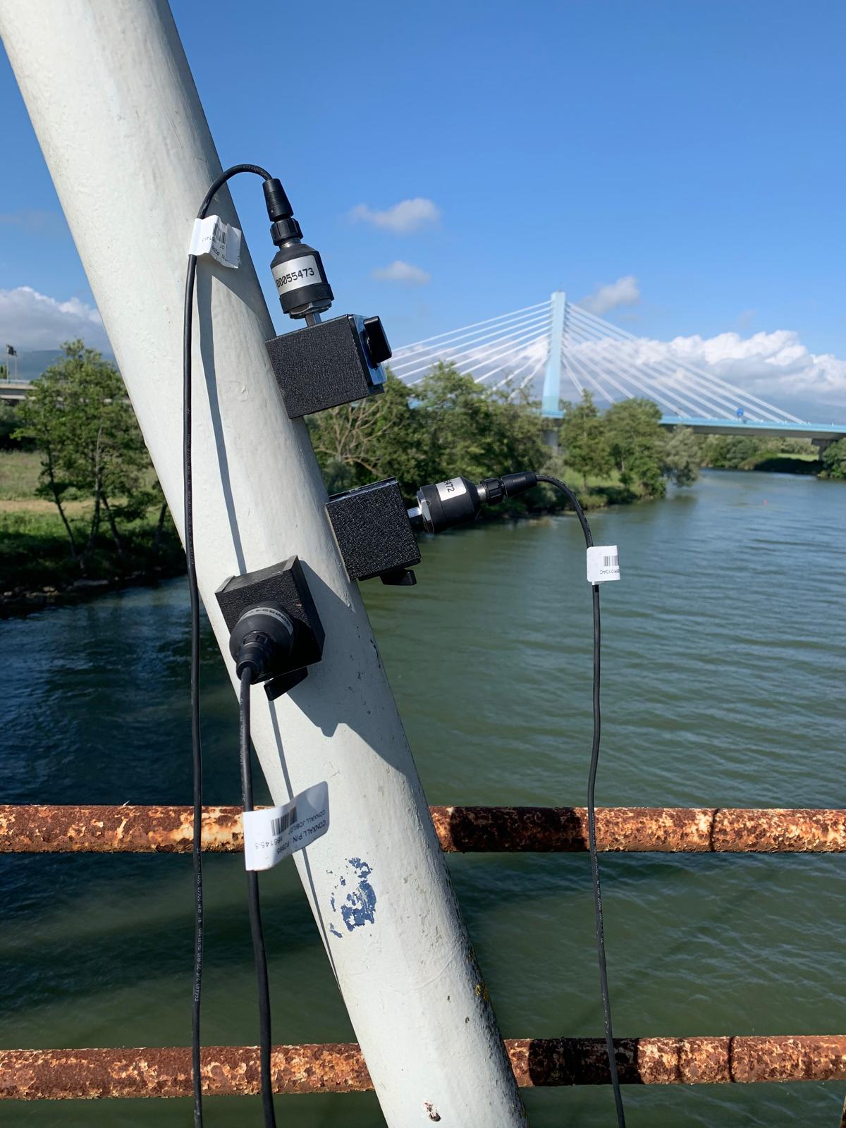
Static and dynamic monitoring of bridges, viaducts, tunnels, historic buildings and critical infrastructure. Design and management of sensor networks for continuous control of structural behaviour, integrated with modal analysis and dynamic parameter identification.
Traditional surveying, GNSS surveys, terrestrial laser scanning and drone LiDAR for the geometric characterisation of structures and infrastructure. High-density point clouds, 3D models and as-built BIM generated from airborne and terrestrial LiDAR acquisitions.
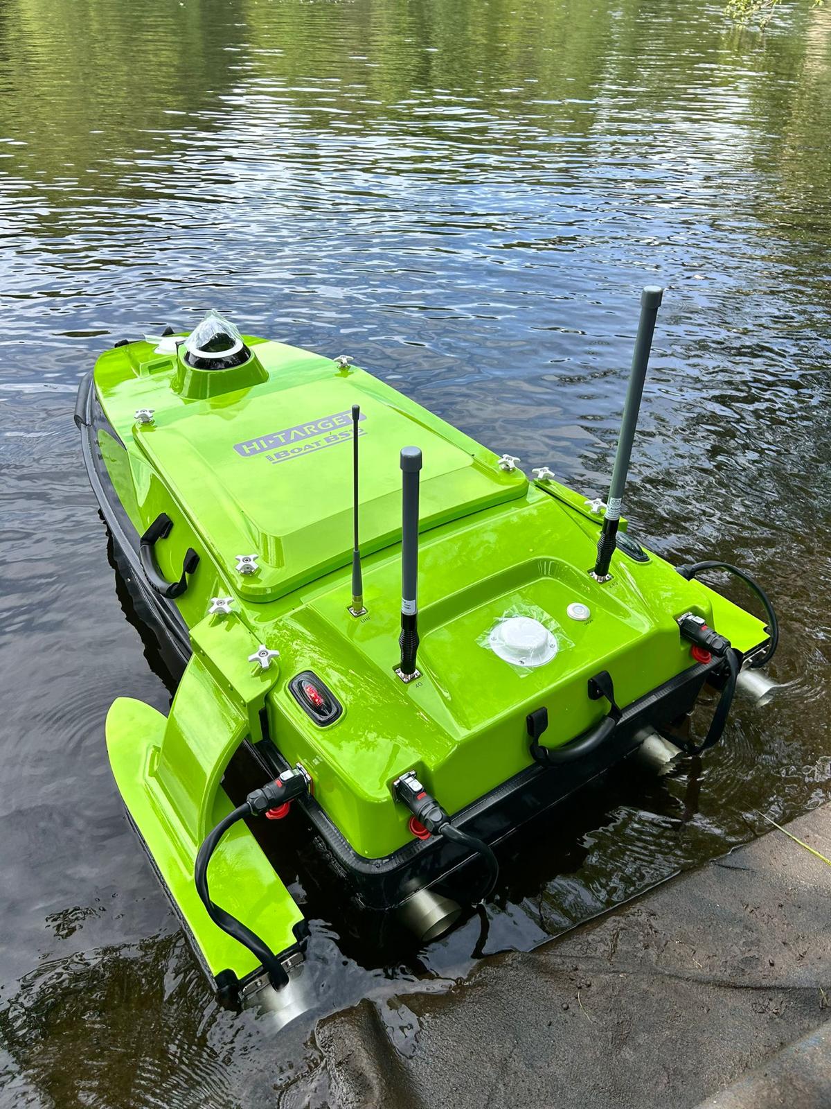
High-precision bathymetric surveys with Single Beam (SB) and Multi Beam (MBES) echo sounders for the morphological analysis of lake, river, canal and reservoir beds. We support hydraulic engineering studies at bridges and river crossings, delivering 3D seabed models useful for checking localised scour, monitoring sediments and designing hydraulic protection works. Acquisitions are carried out with dedicated vessels and USV nautical drones to operate safely even in hard-to-reach areas.
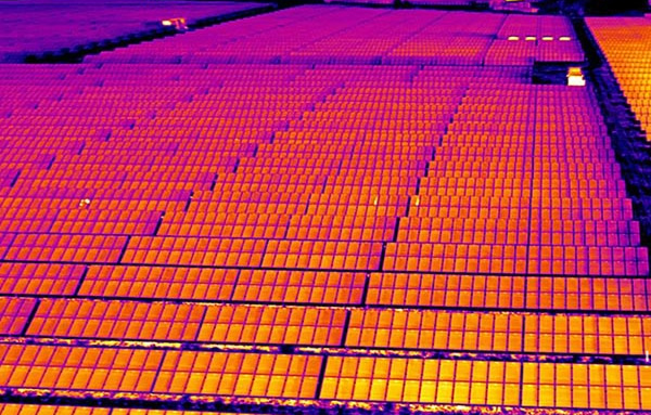
Integrated technical Due Diligence services for the development and construction of solar and wind parks: we follow the entire project cycle, from preliminary site characterisation to construction-phase verification and commissioning. We carry out high-productivity geophysical surveys over large areas, magnetometry for the mapping of metallic masses and unexploded ordnance (UXO) clearance, POT (Pull-Out Test) on pile foundations, thermographic inspections on photovoltaic systems and operational technical support to keep the site efficient through every phase.
POT (Pull-Out Test) on photovoltaic pile foundations
Ground and UAV magnetometry for UXO mapping
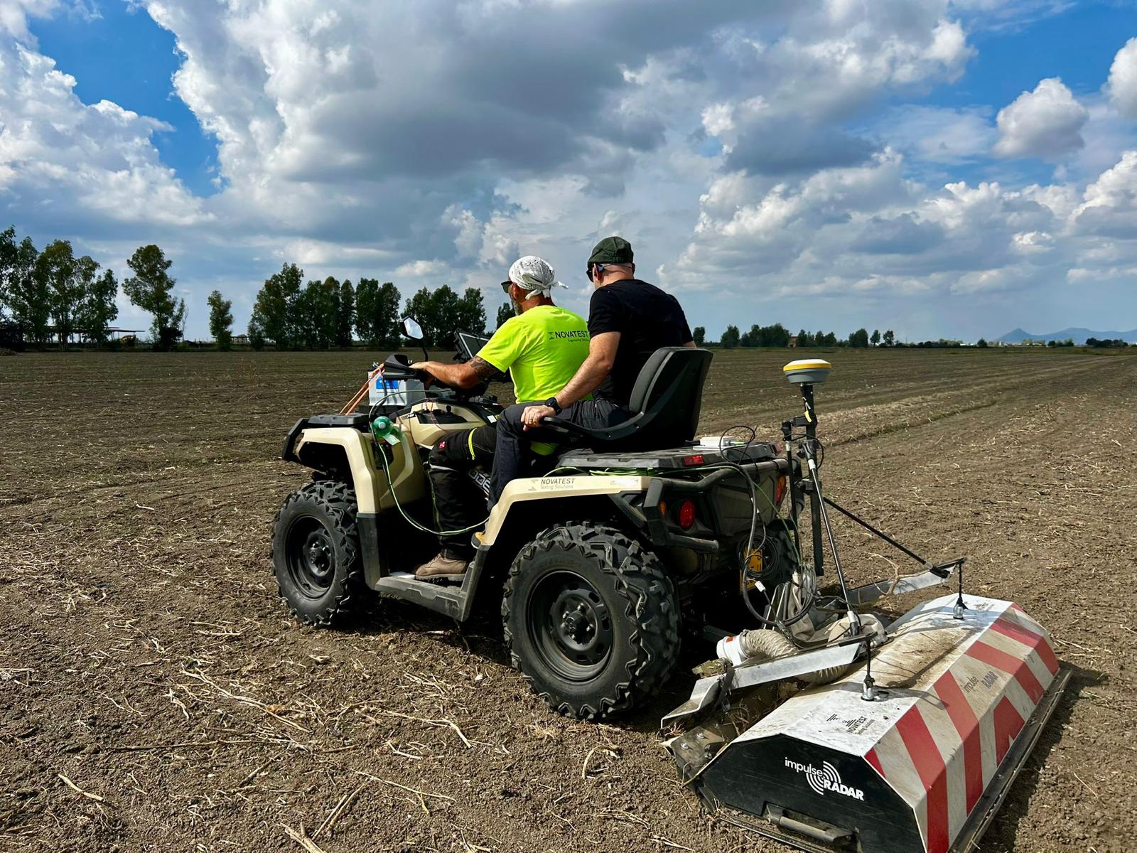
High-productivity 2D/3D GPR surveys over large areas for archaeological and environmental risk assessment
Tailored training courses and programmes to transfer operational skills and enable the autonomous, effective adoption of survey, diagnostic and monitoring technologies. Complemented by Smart consulting to introduce and guide clients entering new markets. Theory and practical sessions on instrumentation and software.
A fleet of professional technologies entirely owned, managed and maintained by our technicians. Clients access high-end instrumentation without investing in dedicated equipment: we bring it to site, put it to work and transfer know-how to their staff. No external rentals, no bottlenecks.
Geophysics
3D multiarray GPR systems in Pushcart or Vehicle Mount configuration
Dual-frequency 2D/3D GPR
ERT georesistivity meter
High-sensitivity magnetometer and gradiometer
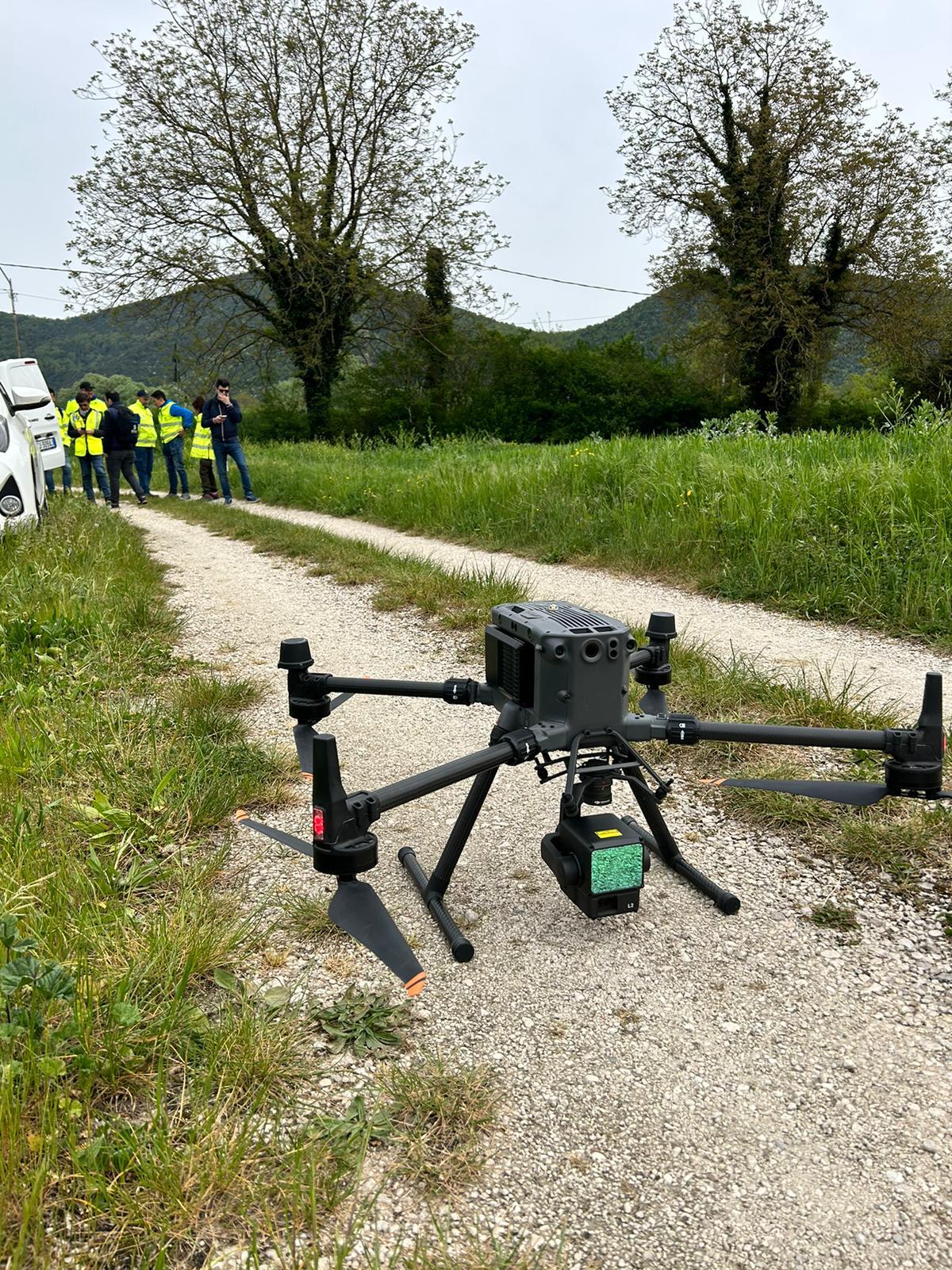
UAV Drones
Drone-borne airborne magnetometric systems
LiDAR and photogrammetry
Echo sounder integrated on drone
Low-frequency GPR antennas drone-borne
NDT and Diagnostics
MIRA 3D ultrasonic tomograph
High-frequency GPR antenna for structural investigations
NOVOdr digital X-RAY radiography system
Structural Monitoring
Static and dynamic monitoring systems (accelerometers, inclinometers, transducers, strain gauges)
Self-powered IoT dataloggers with integrated GPRS module
Surveying and Mapping
Robotic total stations and multi-constellation GNSS RTK
High-resolution terrestrial laser scanner
Point cloud processing and BIM software
Marine Geophysics
Single Beam and Multi Beam (MBES) echo sounders
USV (nautical drone) for safe acquisitions
Marine seismic and sub-bottom profiler
Have a specific requirement?
We configure bespoke solutions by combining different methodologies and technologies.